VGLiDAR
+ Online LiDAR datasets and custom data requests :
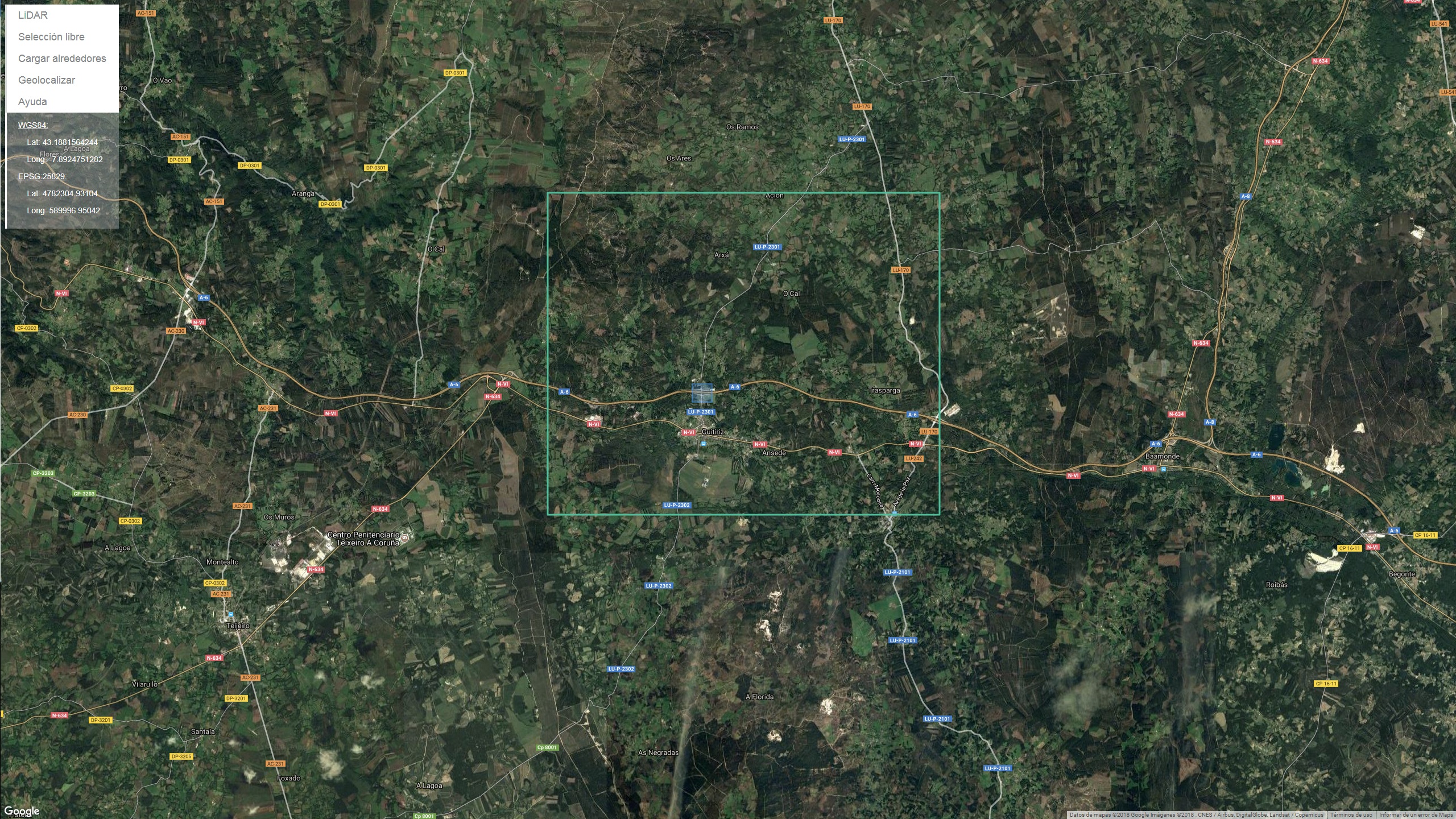
VGLiDAR offers multiple and ready-to-use online LiDAR datasets with the capability of requesting custom subareas of the point clouds.
+ WebGL rendering :
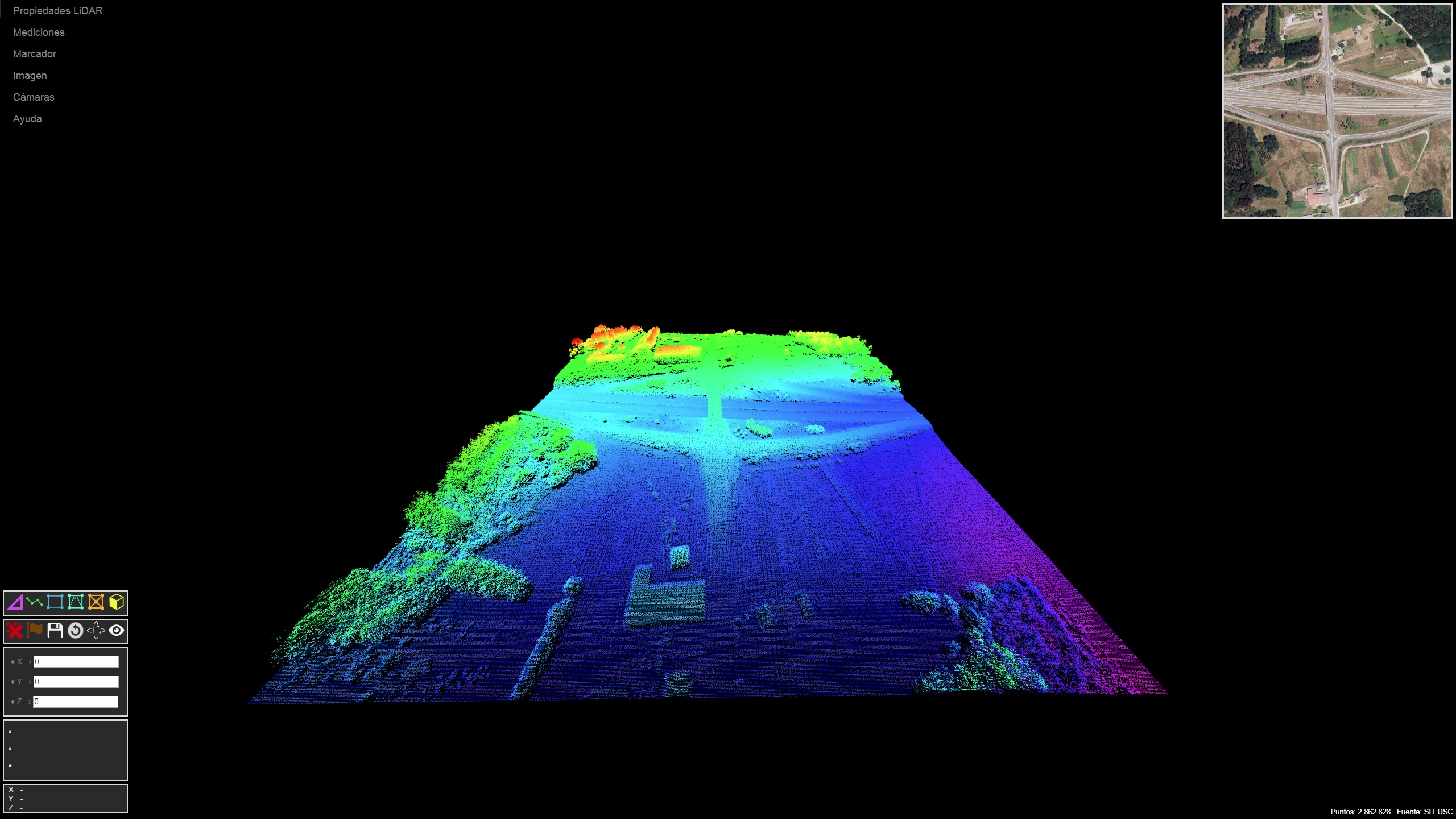
VGLiDAR is based on WebGL, which allows it to render several million points directly in browsers taking advantage of the client's GPU.
+ Geospatial measuring tools :
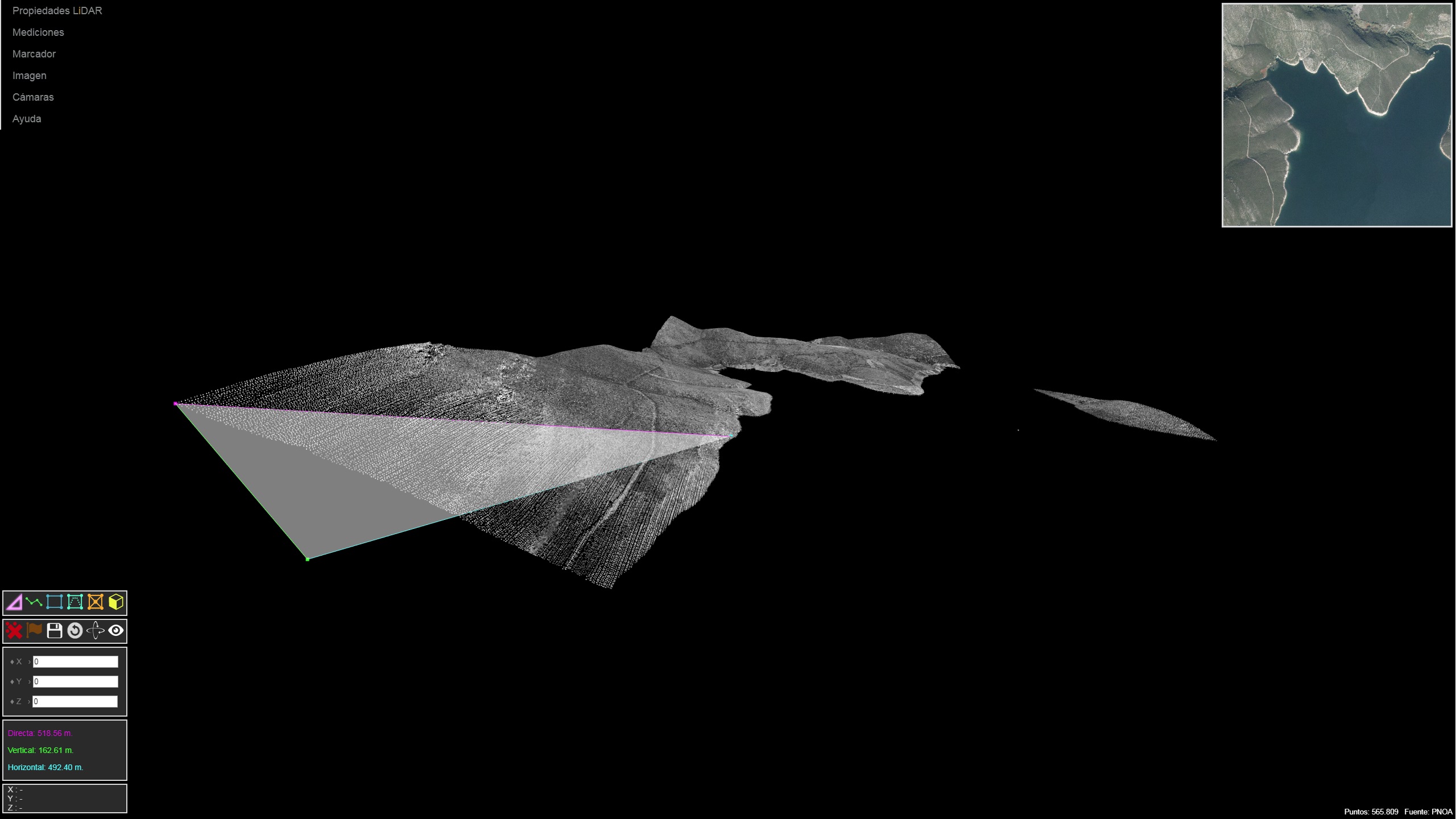
The design of VGLiDAR is focused on providing useful measurement tools, points are georeferenced and users are able to obtain distances, structure heights or areas, directly over the images.
+ Point filtering/rendering based on LiDAR properties :
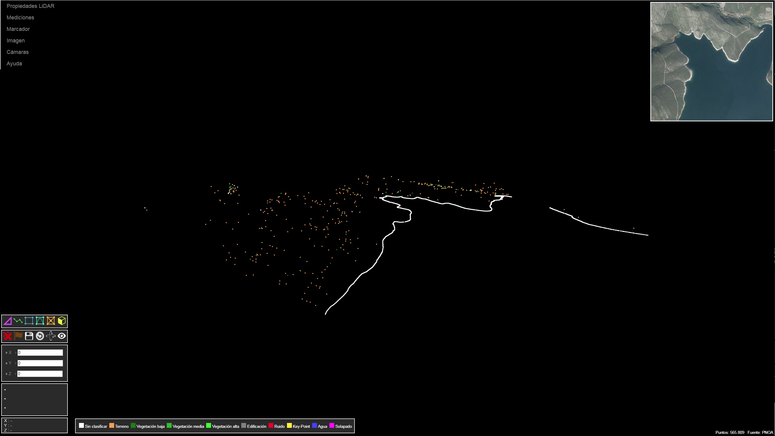
Point clouds can be rendered and filtered by LiDAR properties such as height, returns, class or intensity.
GAC - Departamento de Ingeniería de Computadores, Facultad de Informática, Campus de Elviña S/N, 15071, A Coruña Email: gac-udc (at) udc.es
LiDAR-PNOA cedido por © Instituto Geográfico Nacional Website
