About PANGEA
+ ¿What is PANGEA? :
PANGEA is the web portal of the LiDAR software developed by the Computer Architecture Group, a research group at the University of A Coruña (Spain).
Starting as a final degree project in 2014, the research group has developed various web applications for the visualization and measurement taking over LiDAR point clouds.
All LiDAR software was developed in collaboration with professionals in the fields of agronomy and forestry engineering in order to obtain a web framework fulfilling the requirements of all kind of engineers who work with LiDAR data.
+ Publications :
- VGLiDAR 1.0. Visualizador Gallego de Datos Lidar. Reg. Software: C-423-2015.
+ LiDAR data on-demand :
All web applications of PANGEA were created as online services providing LiDAR data on-demand. All point clouds are pre-processed and stored in our servers, ready to use anytime, anywhere. Users are able to request a whole dataset or just specific areas of it through data request based on spatial restrictions. Additionally, some of the applications can also work with local datasets provided by users.
+ Geospatial measurement tools :
All web applications of PANGEA provide users the capability of taking geospatial measurements directly over the point clouds. Some of these measurements are:
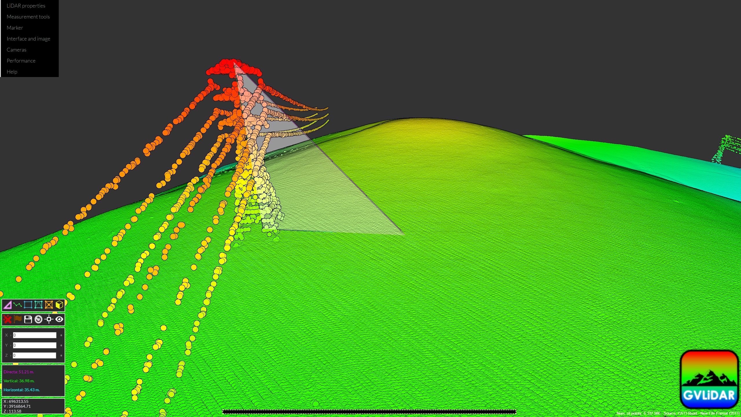
- Height of structures.
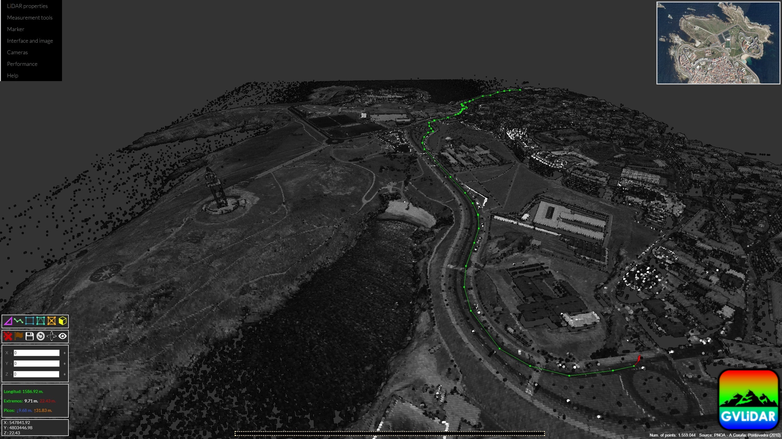
- Distances and pathways.
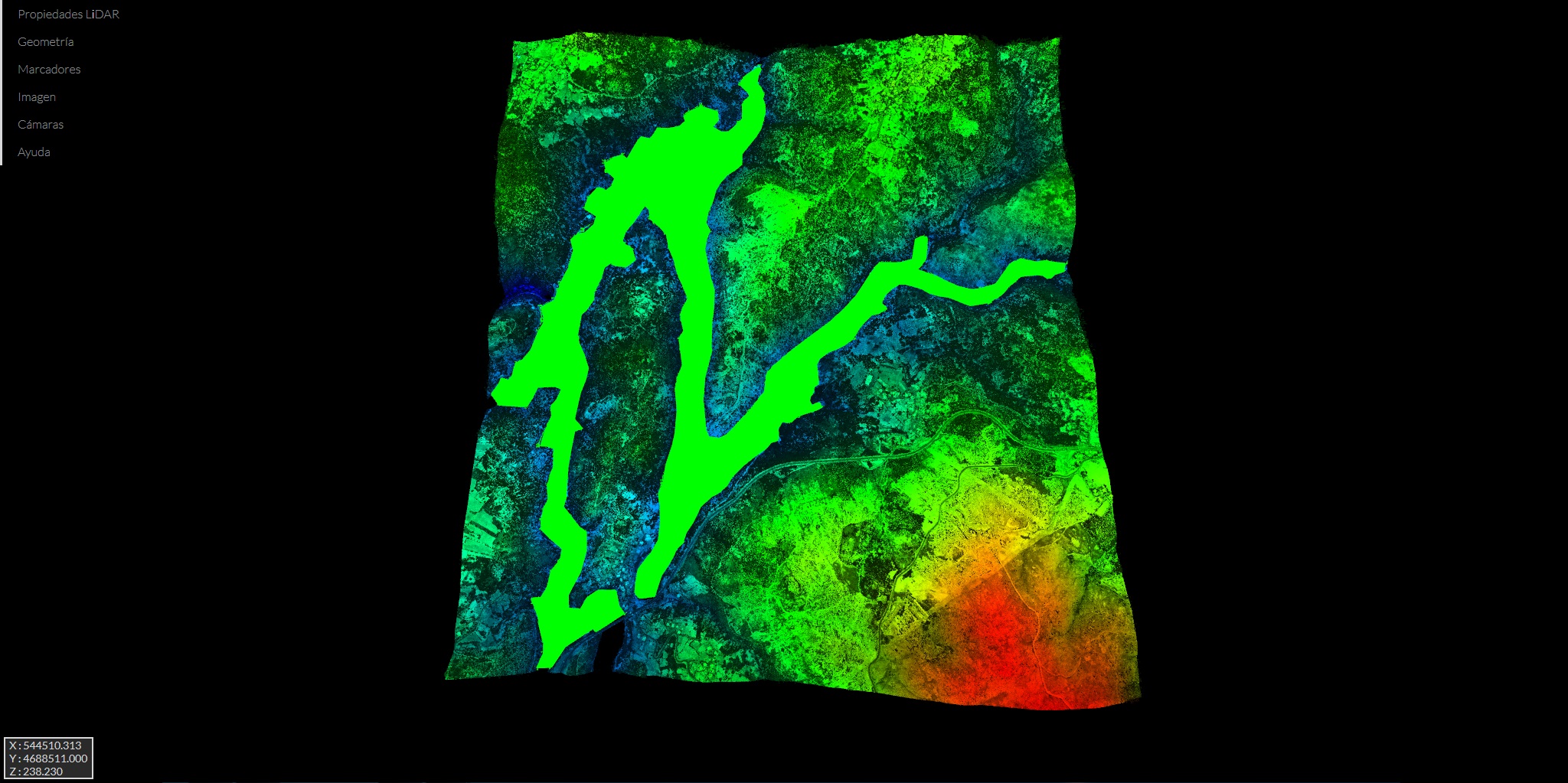
- Areas projected over any plane.
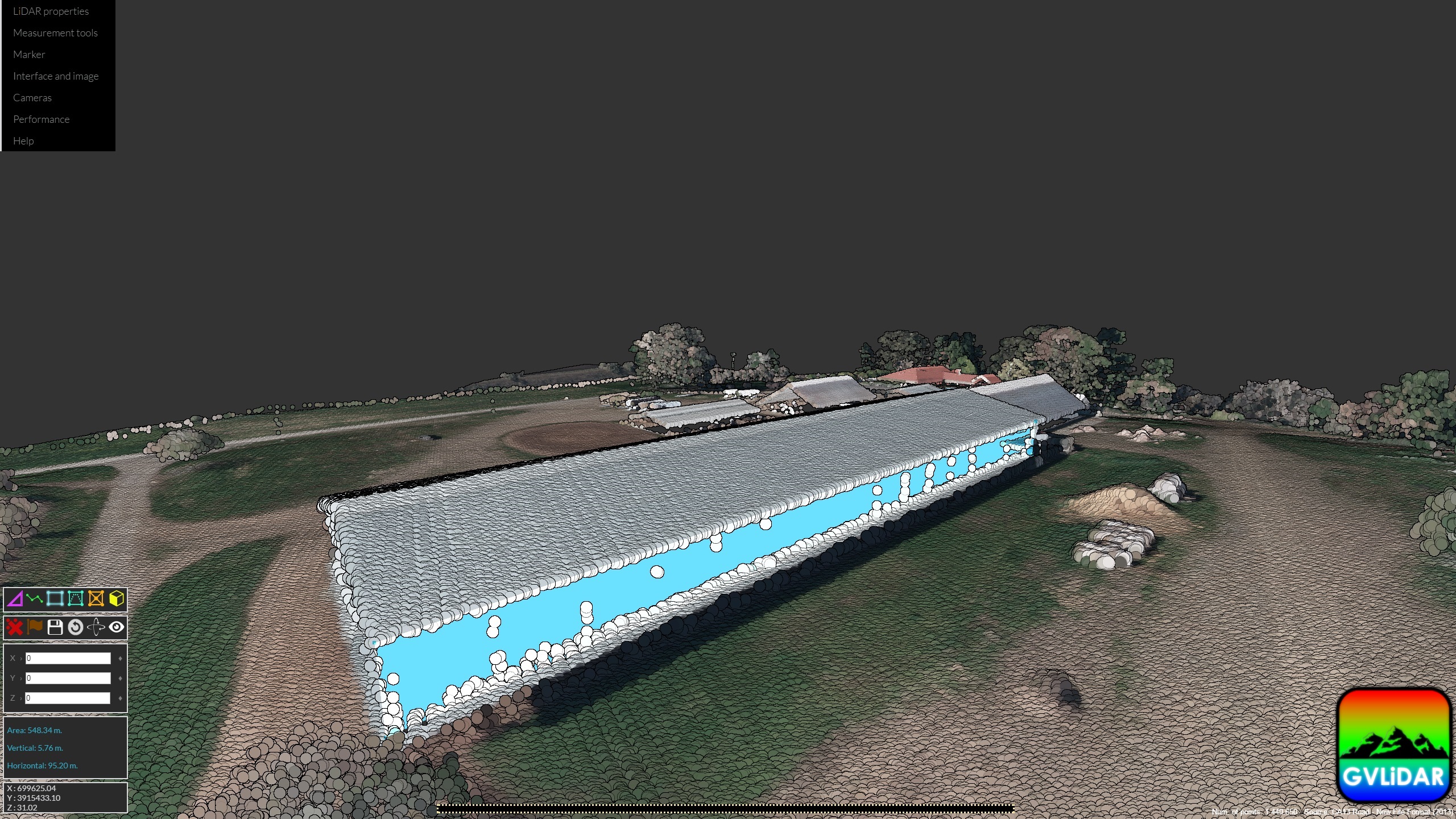
- Areas of facades.
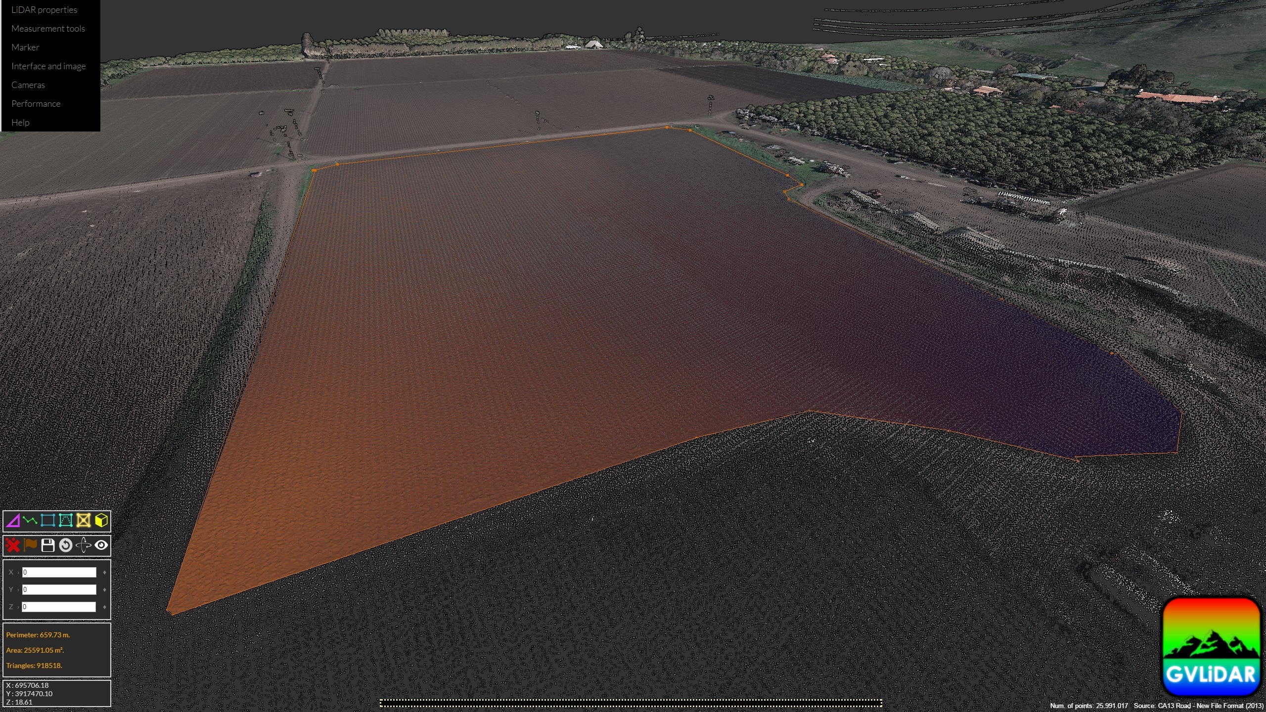
- Complex areas derived from point triangulations.
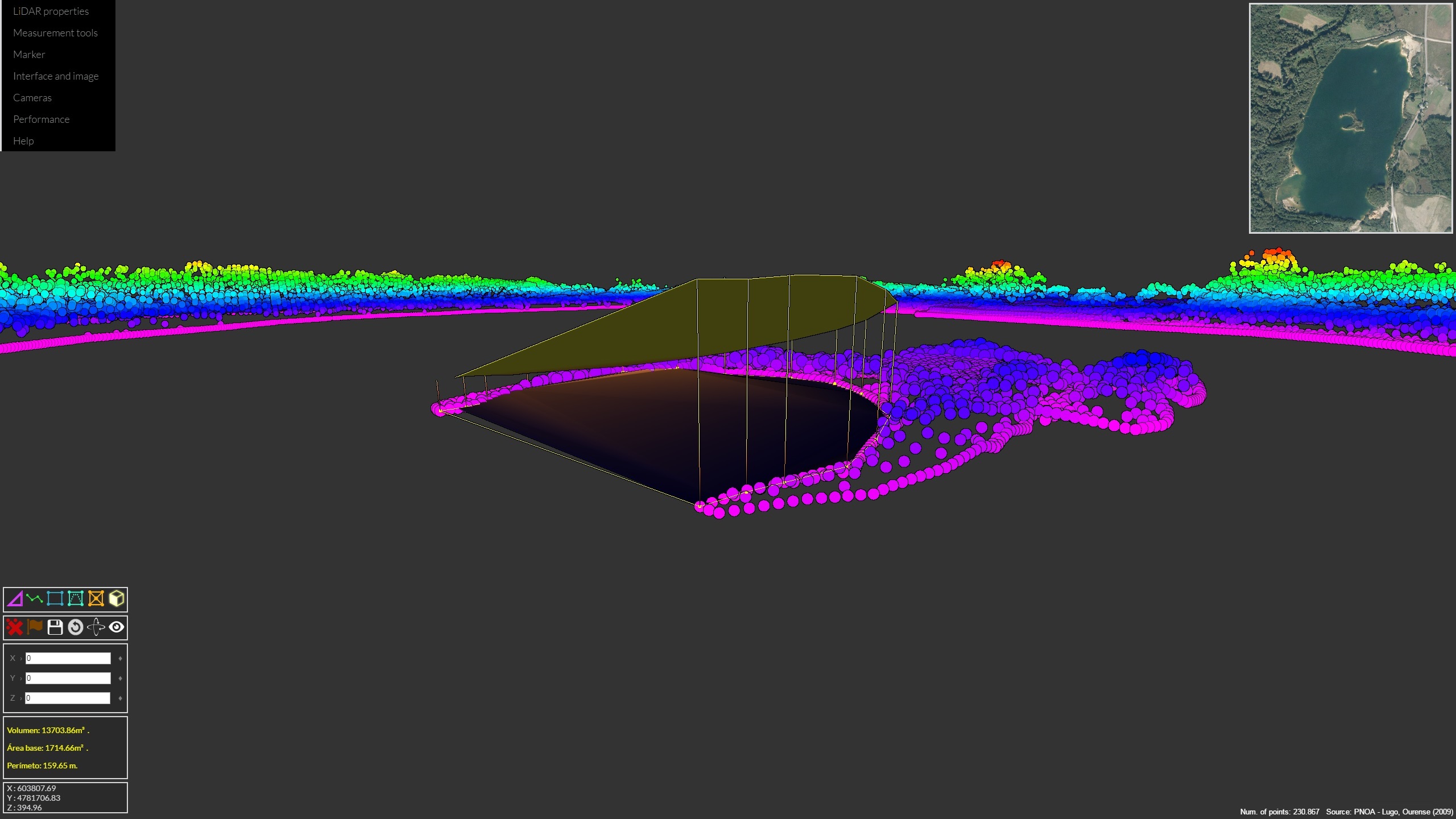
- Complex volumes (irregular base, polygon contour and projected top).
+ Performance :
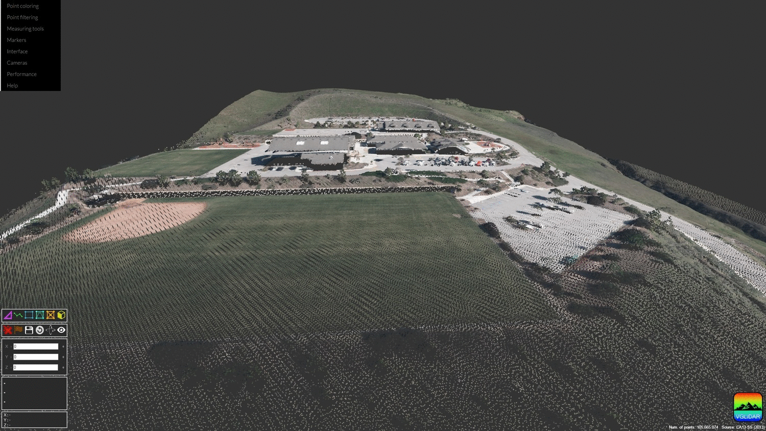
All web applications of PANGEA are based on WebGL allowing them to take advantage of the computing power of the client’s GPU and achieving real-time interaction while handling point clouds containing several million points.
The web applications of PANGEA were developed focused on two different approaches:
- The first approach is focused on rendering fully detailed point clouds for high accuracy in visual analysis and measurement taking.
- Nowadays, the point clouds gathered by modern LiDAR scanners may contain billions of points. The computational and memory requirements needed to handle such amount of points greatly overpass the capabilities of most high-end systems. Thus, the second approach is focused on rendering point clouds though multi-resolution out-of-core techniques in order to overcome memory and computational limitations.
+ Point-based rendering :
WebGL capabilities were used to implement point-based rendering techniques, such as dynamic point size or Eye-Dome Lighting, in order to improve the final quality of the point clouds and facilitating their visual analysis. Differences between naive and improved rendering can be observed here.
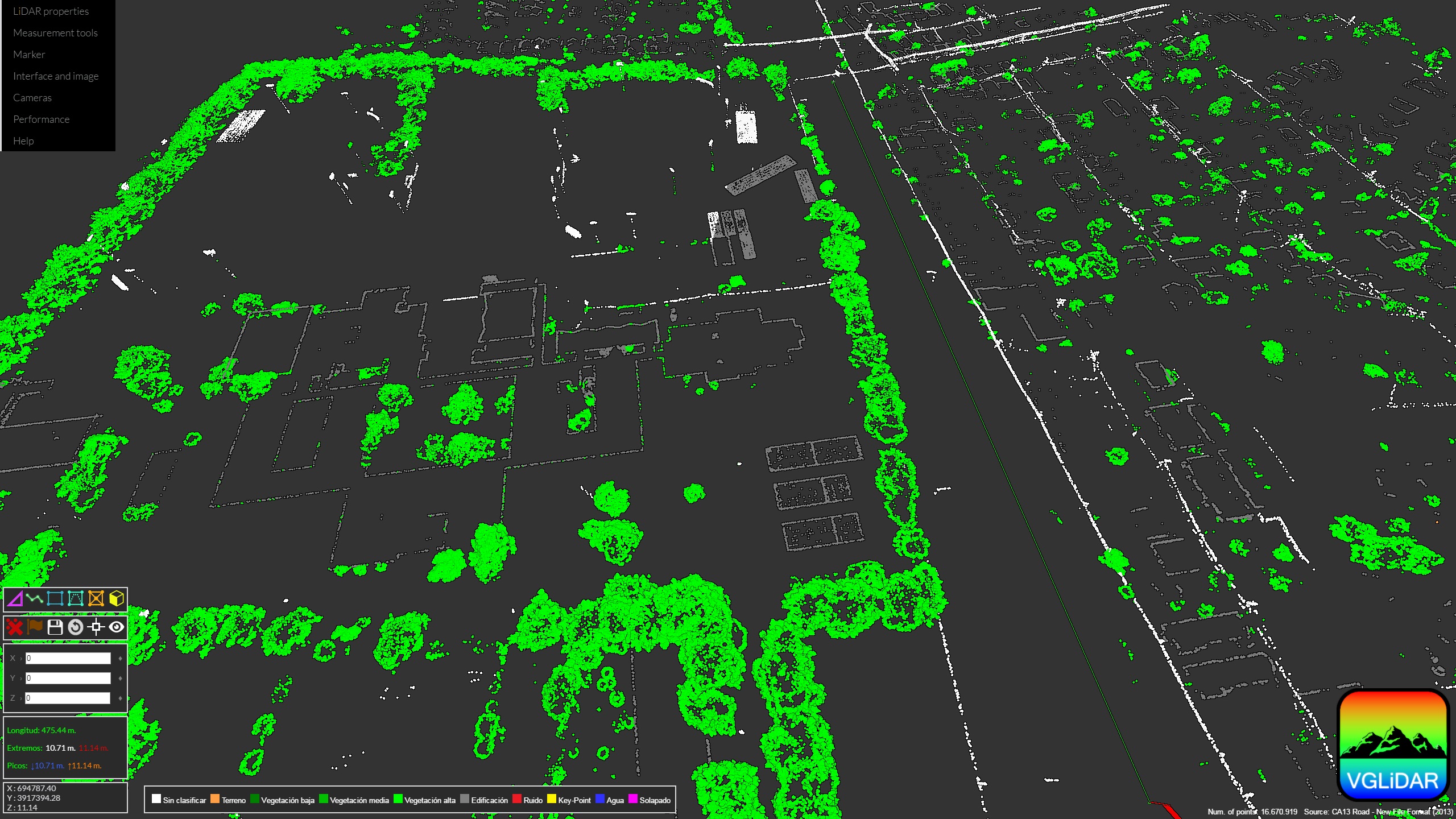
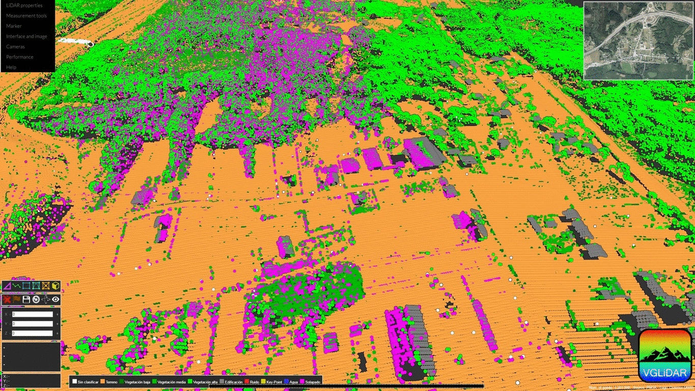
Applications provide point rendering and filtering based on LiDAR properties such as Height, Intensity, Classification or RGB, among others (example). They also provide a RGB point colouring service based on satellite imagery. This feature is powered by IGN services and currently it is only available for Spanish datasets.
